

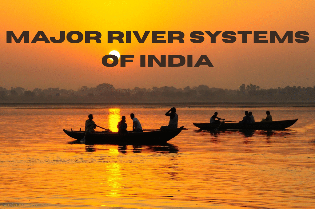
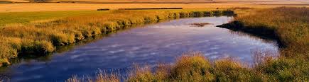
India, often referred to as the “Land of Rivers,” boasts one of the most complex and expansive river systems on earth. From the snow-fed torrents of the Himalayas to the rain-fed streams of the Deccan plateau, these rivers have been the lifeblood of civilizations, supporting agriculture, culture, economy, and biodiversity for millennia.
These rivers do not simply cut the plains and valleys; they profoundly impact the religious and daily lives of millions. The Ganga is not simply a plain river; it is a sacred being. The Brahmaputra is not simply powerful; it is ecologically important. River systems drive dams, provide irrigation to huge farm areas, and even delineate national borders.
While preparing for UPSC, SSC, NDA, or any other government exam, it is essential to know the organization and significance of India’s river systems. Static GK questions tend to emphasize the sources, tributaries, projects, and ecological importance of the rivers.
Do you by any chance know which of India’s rivers has the most tributaries?
Indian River classification
India’s rivers may be broadly classified into four classes according to their origin, course, and nature:

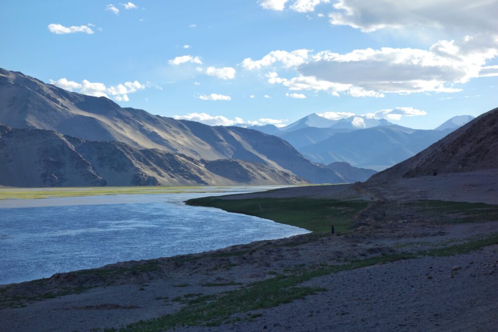
1. Himalayan Rivers
These perennial rivers have their sources in the snow-covered Himalayas. They flow throughout the year and are fueled by rain and melting of the glaciers. A few examples include the Ganga, Yamuna, and the Brahmaputra. They collectively form deep valleys and vast floodplains.

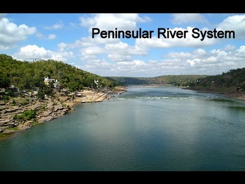
2. Peninsular (Deccan) Rivers
They are primarily rain-fed and seasonally flowing. They are part of the Western Ghats and run east into the Bay of Bengal, exceptions being Narmada and Tapi running west. Examples: Godavari, Krishna, Cauvery, and Mahanadi.

3. Coastal Rivers
Small rivers that run along coastal plains and directly empty into the sea. Kerala, Tamil Nadu, and the Western Coastal region rivers are of this type. They are rapid and less silty. Mandovi, Zuari, Vashishti are a few examples.

4. Inland Drainage Rivers
They don’t flow into the sea. They flow into lakes or get lost in sand. Typical of dry areas like Rajasthan. Example: Luni River.
Summary Table
| Category | Features | Examples |
| Himalayan Rivers | Perennial, snow-fed, high discharge | Ganga, Yamuna, Brahmaputra |
| Peninsular Rivers | Seasonal, rain-fed, rocky terrain | Godavari, Krishna, Kaveri |
| Coastal Rivers | Short, swift, drain into the sea | Mandovi, Periyar, Vashishti |
| Inland Drainage Rivers | End in lakes/deserts, non-perennial | Luni, Ghaggar |
Principal Indian River Systems and Tributaries

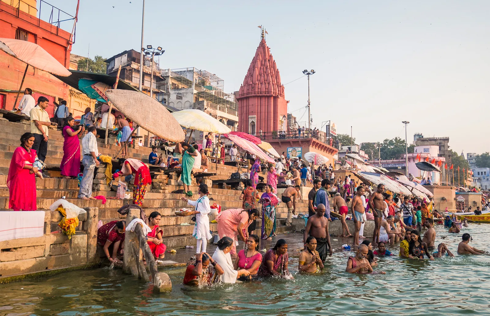
A. The Ganga River System
- Origin: Created by the meeting of Alaknanda and Bhagirathi at Devprayag in Uttarakhand.
- Length: About 2,525 km
- Mouth: Bay of Bengal
Major Left-bank Tributaries:
- Ramganga
- Gomti
- Ghaghara (largest in volume)
- Gandak
- Kosi (renowned for changing direction and floods)
- Mahananda
Principal Right-bank Tributaries:
- Yamuna (joins at Allahabad/Prayagraj)
- Son
- Damodar (also called “Sorrow of Bengal”)
Principal Prayags:
- Vishnuprayag, Karnaprayag, Nandaprayag, Rudraprayag, and Devprayag.
- Tehri Dam: Built across the Bhagirathi; India’s tallest dam.
- Included states are Uttarakhand, Uttar Pradesh, Bihar, Jharkhand, and West Bengal.

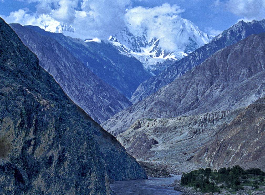
B. The Indus River System
- Origin: Lake Manasarovar, Tibet (China)
- Length: ~3,180 km
- Mouth: Arabian Sea (in Pakistan)
All the five major tributaries originate in the Punjab.
- Jhelum – it is from Verinag
- Chenab – from Chandra and Bhaga
- Ravi
- Beas.
- Sutlej – Named after Rakshastal
Panjnad is formed through the confluence of five rivers—Jhelum, Chenab, Ravi, Beas, and Sutlej.
Left bank tributaries: Jhelum, Chenab, Ravi
Right-bank tributaries: Beas, Sutlej
Entry in India: Enters in Ladakh, and thereafter passes through Pakistan.
Bhakra Nangal Project: Constructed on Sutlej; significant for irrigation and power.

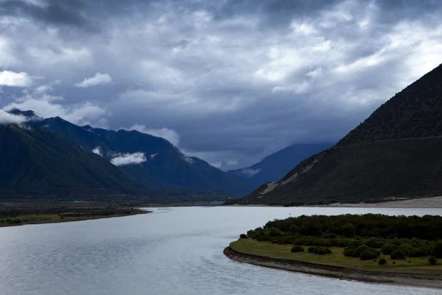
C. The Brahmaputra River System
- Source: Chemayungdung glacier in Tibet, which is also called Tsangpo
- Indian Course: Enters Arunachal Pradesh as Siang, Brahmaputra enters Assam, enters Bangladesh as Jamuna
Major Tributaries:
- Left-bank: Dibang, Lohit, Dhansiri
- Right bank: Subansiri, Kameng, Manas, Teesta.
Unique Features:
- Extremely braided and prone to flooding.
- Majuli Island (Assam): The world’s largest eroding riverine island.
- Highly sedimentary and ecologically diverse.

D. Other Significant Rivers
Godavari
- Origin: Trimbak (Maharashtra)
- Length: 1,465 km (Longest Peninsular river)
- Tributaries: Manjira, Indravati, Sabari
Krishna
- Origin: Mahabaleshwar
- Tributaries: Bhima, Tungabhadra, Musi
Cauvery (Kaveri)
- Source: Talakaveri (Karnataka)
- Tributaries: Hemavati, Kabini, Amaravati
Mahanadi
- Origin: Sihawa (Chhattisgarh)
- Tributaries: Seonath, Jonk, Hasdeo
Narmada and Tapi
- West-flowing rivers
- Narmada: Originates from Amarkantak
- Tapi: From Satpura ranges
Mnemonics for Tributaries:
- For Ganga Left: “Rajaji Gaye Ghar Kya Manna” (Ramganga, Gomti, Ghaghara, Gandak, Kosi, Mahananda)
- For Indus: “Just Check Ravi Before Sunset” (Jhelum, Chenab, Ravi, Beas, Sutlej)
Table: River – Origin – Main Tributaries – Mouth
| River | Origin | Main Tributaries | Mouth |
| Ganga | Devprayag (UK) | Yamuna, Ghaghara, Kosi | Bay of Bengal |
| Indus | Lake Manasarovar | Jhelum, Beas, Sutlej | Arabian Sea |
| Brahmaputra | Tibet (Tsangpo) | Subansiri, Dibang, Teesta | Bay of Bengal |
| Godavari | Trimbak (MH) | Manjira, Indravati | Bay of Bengal |
| Krishna | Mahabaleshwar | Bhima, Tungabhadra | Bay of Bengal |
| Cauvery | Talakaveri | Kabini, Amaravati | Bay of Bengal |
| Narmada | Amarkantak | Hiran, Orsang | Arabian Sea |
| Tapi | Satpura range | Purna, Girna | Arabian Sea |
Hydrological and Ecological Significance
Rivers are not merely physical features—they’re ecological, agricultural, and cultural lifelines.
Role in Agriculture:
- Nearly 70% of irrigation in India comes from reservoirs and river-fed canals.
- Rivers like the Ganga and Krishna support fertile alluvial plains necessary for food grain production.
Biodiversity Hotspots:
- Habitat to species such as the Ganges River Dolphin, Indus Dolphin, and distinctive riverine wetlands.
- It is the home of tigers, elephants, and birds within Kaziranga & Dibru-Saikhowa sanctuaries.
Major Projects and Dams:
- Tehri Dam (Ganga), Bhakra Nangal (Sutlej), Hirakud (Mahanadi), Sardar Sarovar (Narmada).
- Essential for flood control and hydropower.
Watershed Management:
- Encourages water and land conservation.
- It stops soil erosion, refills groundwaters, and maintains ecological balance.
Rivers in Competitive Exams
Indian rivers are a favorite at competitive tests such as UPSC, SSC CGL, NDA, CDS, and State PCS. Questions vary from factual to analytical and are intended to test the candidates on river sources, tributaries, dams, and ecological characteristics.
General UPSC & SSC Question Patterns:
- Match the following: River – Origin or Tributary.
- Assertion-Reason (for example, Role of rivers in inland navigation)
- Statement-based MCQs (e.g., Which river is west-flowing?)
- Geographically restricted, i.e., rivers that flow through a specific state.
Most Frequently Asked Rivers:
- Ganga System (Ghaghara, Yamuna, Kosi, Son)
- Brahmaputra (Majuli, floodplain features)
- Godavari & Krishna (Length, tributaries, projects)
- Narmada & Tapi (West-flowing uniqueness, rift valley)
High-Yield Insights:
- Longest river of India (Godavari)
- River with most tributaries (Ganga)
- Oldest river (Narmada)
- Big dams such as Bhakra, Hirakud, Tehri are often found in GK questions
Methods of Memorization:
- “Rajaji Gaye Ghar Kya Manna” – Left-bank tributaries of Ganga
- Just Check Ravi Before Sunset – Indus tributaries
Test Your Knowledge!
Ready to test your knowledge?
Have a go at answering these questions in the comments below – how many can you answer correctly?
- Which one of the Ganga tributaries originates in the Kaimur range?
- Which river creates the Majuli Island in Assam?
- Which river has the Amarkantak plateau as its origin and which river flows west?
Put your responses in the comment box! We will reply with responses and some more facts to help you do better in your revision.
Challenge your friends as well—share the quiz and compete!
Conclusion
India’s rivers are more than geographical landmarks; they are culture, they are symbols of sustainability, and they are engines of development.
Sustaining agriculture, generating hydroelectric power, and maintaining biodiversity, these rivers are the very lifeblood of Indian life. If you are a competitive exam candidate or simply an Indian geography enthusiast, you ought to know about our river systems.
Bookmark this website, forward it to other students, and download the river map for revision. Got questions, mnemonics, or fun facts about rivers? Share them in the comments section below! Let’s create a knowers community!.